Rainforest to Rockies: North to Mount Robson
7-10 Days / 709 km (441 mi)
Find adventure as you travel from Vancouver and the Pacific Ocean to Mount Robson, the Canadian Rockies’ highest peak.
Angling for iconic adventures on your road trip to the Canadian Rockies? The route between Vancouver and Valemount via BC’s famous “Fishing Highway” is a local gem that will have you hooked in no time. This sweeping sea-to-summit journey comes with built-in bragging rights, delivering unmatched scenery, cultural encounters, and the rare opportunity to fish in a different lake every day.
Part 1
One of the world’s most liveable cities, Vancouver is easy to get to but harder to leave. Nature abounds on downtown’s doorstep, but the lush parks, trails, and beaches are just a teaser for the breathtaking coastal scenery still to come.
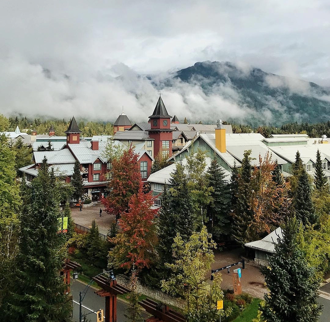
Smell the salt air as you head north to Whistler, a four-season mountain town and resort along the Sea-to-Sky Highway 99—one of the world’s Top 5 scenic drives.
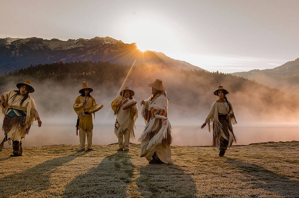
The scenery continues toward Lillooet—unique in the area for its dry climate and Mile 0 of the Cariboo Wagon Road in the mid-1800s—as mountains rise on either side of broad, river-carved valleys and the turquoise Seton Lake comes into view. This area is still an active fishing ground for the St’át’imc Nation, and Xwisten Experience Tours offers guided visits to the traditional fishing rock and an archaeological village site.
Part 2
Snuggled on the arid shores of the Bonaparte River, Cache Creek is a popular stopover. Leave the rainforest behind and find yourself on ranch land, following a trail rich with the stories of Nlaka’pamux and Secwe̓pemc peoples, and European settlers. Just north of town, the sprawling and historic Hat Creek Ranch is a living museum featuring original colonial buildings from the Gold Rush era and highlights the Shuswap People’s traditions and experiences.
As you travel along Highway 97 towards 100 Mile House (named during the Gold Rush for its distance from Lillooet), get sweet treats at the Sugar Shack in 70 Mile House, pass Chasm Ecological Reserve and stop in at Chasm Lookout Point, with panoramic views of small lakes and sweeping pasturelands. Highway 24 leads to Lone Butte, a gateway to the Interlakes area, home of the Historic Railway Water Tower, a community and close to campgrounds, cabins and resorts. Kick back under expansive, twinkling dark skies.
Part 3
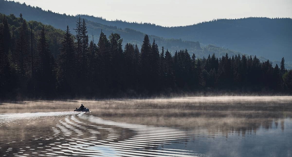
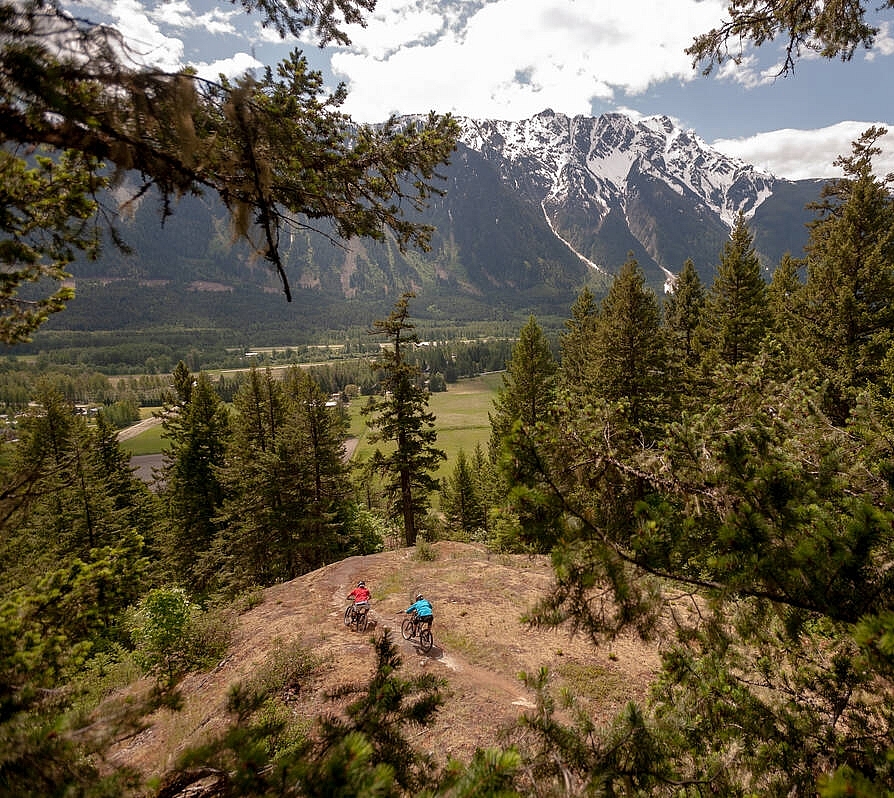
Highway 24 between Lone Butte and Little Fort is paved with fish stories—most of them true! Colloquially known as “the Land of Hidden Waters” on “the Fishing Highway,” this 97-km stretch across the Thompson River Plateau is dotted with lakes of Kokanee, Burbot, Rainbow, Brook, and Lake trout. “Fish a lake a day, for every day you stay,” as the residents like to say—and if fishing isn’t your favourite, there are many other ways to enjoy the region’s tranquil waters and serene scenery. Most resorts in the area offer canoe, kayak, paddleboard, and small boat rentals, and plenty of nearby wilderness adventures await hikers (check out the Bridge Lake Ice Caves Trail!), birders, mountain bikers, and horseback riders.
Part 4
From Little Fort, head north on Highway 5—also known as the scenic Southern Yellowhead Highway that spans Canada’s western provinces. Skirt the evergreen edge of Wells Gray Provincial Park and take in the craggy alpine beauty of the Monashee Mountains beyond Clearwater. As you near the end of your journey towards Valemount and Mount Robson (the tallest peak in the Canadian Rockies), the road follows the course of the North Thompson River. Plan your park visit in advance at the Mt. Robson Visitor Information Centre: Access, camping, and trail conditions change with the seasons. In addition to the renowned Berg Lake Trail (Currently inaccessible while the trail undergoes repair work, and which normally can only be visited by a multi-day hiking trip with resesrvations), there are less-crowded paths to explore, including the self-guided Journey Through Time interpretive trail and the self-guided Labrador Tea Trail.
From sea level to soaring heights, through rainforests, ravines, ranchlands, alpine meadows, and more lakes than you can imagine, this road trip reveals the very best of BC—fish stories notwithstanding.
Please note: Remember to check for access information and note which parks or areas require advance booking or have other unique conditions.
Header image: Lac La Roche | Andrew Strain
Check Drive BC for the latest information on road closures around the province.
Check ConditionsLearn about hiking and biking trails, provincial campgrounds, park closures, and more.
Explore